-
7,00 €Price on 10 Sep 2026: 7,00 €
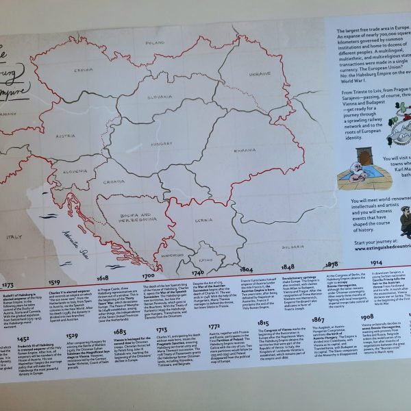
A3 poster map of the Austro-Hungarian Empire in 1914, featuring today’s borders and the historical frontiers (including a dashed red line dividing Cisleithania and Transleithania). Enriched with a timeline of 20 key events in Habsburg history and original illustrations from the book. Dimensions: 40,8 cm x 28,2 cm
-
15,00 €Price on 10 Sep 2026: 15,00 €
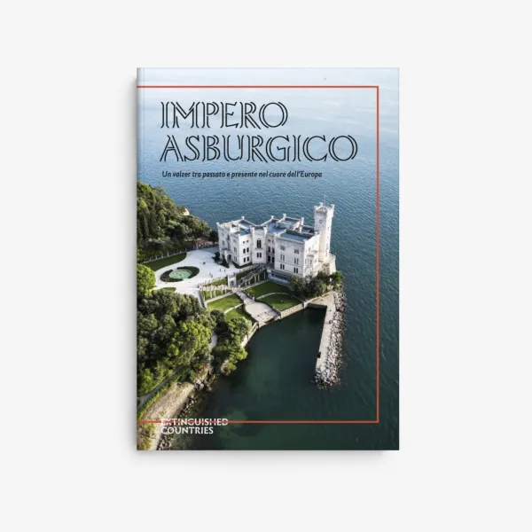
For over six centuries, until the end of the First World War, the Habsburgs ruled over a big part of Europe. The shape of their empire varied greatly throughout history (it even included Mexico at one moment!). At the time of its downfall, the Habsburg Empire included parts of 13 contemporary countries: Austria, Hungary, Czechia,…
-
25,00 €Price on 10 Sep 2026: 25,00 €
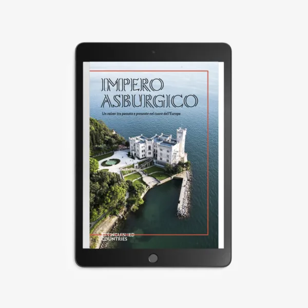
The largest free trade area in Europe. An expanse of nearly 700,000 square kilometers governed by common institutions and home to dozens of different peoples. A multilingual, multiethnic, and multireligious state where transactions were made in a single currency. The European Union? No: the Habsburg Empire on the eve of World War I. From Trieste…
-
Rated 5.00 out of 5
25,00 €Price on 10 Sep 2026: 25,00 €
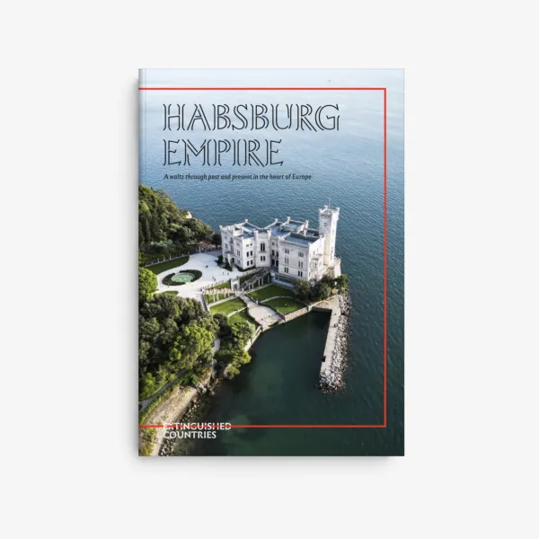
The largest free trade area in Europe. An expanse of nearly 700,000 square kilometers governed by common institutions and home to dozens of different peoples. A multilingual, multiethnic, and multireligious state where transactions were made in a single currency. The European Union? No: the Habsburg Empire on the eve of World War I. From Trieste…
-
15,00 €Price on 10 Sep 2026: 15,00 €
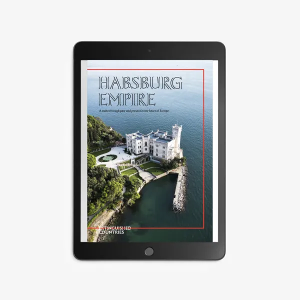
The largest free trade area in Europe. An expanse of nearly 700,000 square kilometers governed by common institutions and home to dozens of different peoples. A multilingual, multiethnic, and multireligious state where transactions were made in a single currency. The European Union? No: the Habsburg Empire on the eve of World War I. From Trieste…